Back to the BIM & IFC blog
Digital twins · 2026-08-21 · 10 min
IFC + Video on 3D Terrain: Interactive Construction Demo
See the actual viewer place video beside IFC as a screen, terrain overlay or billboard, then try metric position and opacity in the browser demo.
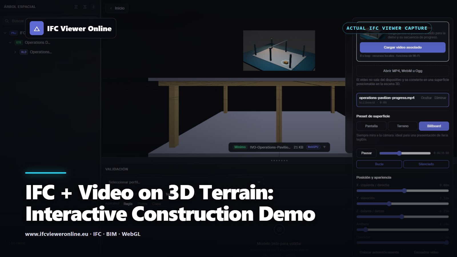 Cover titled IFC and Video on 3D Terrain over an actual viewer capture with the Operations Pavilion and video placement controls
A normal video player explains time but loses space. A normal IFC viewer explains space but often loses the visual evidence captured on site. Putting the two resources in one 3D frame lets a presenter point at the designed element, the terrain context and the recorded condition without switching applications.
The goal is not to drape video everywhere. It is to choose a placement mode that answers a user question: What did this camera see? Where does this progress evidence belong? Which surface or work area is being discussed?
Watch the Offline Example Clip
Operations Pavilion construction progress loop
Synthetic eight-second loop paired with the bundled IFC4 pavilion.
 Synthetic media authored for this repository; no real project or site is represented.
Try IFC + 3D Video Live
Start the live example to load the exact IFC companion, create one video texture and frame both resources together. The clip begins muted and loops locally, so the demo does not depend on a streaming service or exhibition Wi-Fi.
Operations Pavilion — IFC + video texture
Interactive WebGL example using a bundled IFC4 model and its matching synthetic progress loop as a camera-facing 3D resource.
 IFC and video are ready — drag to orbit
Actual product capture: the bundled IFC and MP4 are loaded together and the video surface can be positioned, resized and made transparent.
IFC and video are ready — drag to orbit
Actual product capture: the bundled IFC and MP4 are loaded together and the video surface can be positioned, resized and made transparent.
Three Placement Modes, Three Different Jobs
 Screen, ground overlay and billboard are presentation choices, not interchangeable visual effects.
| Mode | Best use | Main risk |
|---|
| Screen | Inspection station, façade or equipment camera | Looks detached if its 3D position is arbitrary |
| Ground / terrain | Progress area, drone context, excavation evidence | Z-fighting or false precision on uneven terrain |
| Billboard | Fairs, guided tours and quick storytelling | Less spatially authoritative because it follows the camera |
Opacity and Terrain Are Product Controls
Opacity is useful when the audience needs to see designed geometry through recorded pixels. It is not a decoration slider: at low opacity the video may become impossible to interpret, while at full opacity it can hide the IFC evidence being discussed. A useful default keeps the media legible and offers a one-click comparison state.
A ground video also needs a metric width, local position, yaw and a small surface offset. If the application can sample the visible terrain or scene meshes, it can snap the plane onto the surface. The UI should still expose the resulting placement; an automatic snap is a convenience, not a surveyed transform.
The stable poster is used by the player, social metadata and video search markup.
Performance and Lifecycle Rules
- Create the HTMLVideoElement and WebGL VideoTexture only after a user opens the example or the resource enters the viewport.
- Reuse one texture while changing opacity or placement; do not recreate the decoder for every slider movement.
- Pause video when hidden, and dispose the media element, texture, material, geometry and object URL when removed.
- Keep a static poster in the page so users and crawlers have useful content before WebGL starts.
- Prefer a small local MP4/WebM loop for fairs, then add WebRTC camera or screen capture as an explicitly live source.
A Five-Minute Fair Narrative
- Open the IFC alone and frame the pavilion.
- Load the matching clip as a billboard so every attendee can see it immediately.
- Switch to ground mode and adjust opacity to reveal the spatial relationship.
- Move the camera while the clip continues, demonstrating that it is part of the 3D scene rather than an overlay on the webpage.
- End by loading the same pair offline again and explain how a real camera, shared screen or recorded inspection could replace the synthetic source.
If the evidence must remain inspectable as XYZ points rather than pixels, use the temporal LiDAR and MCAP architecture. If the comparison is static and measured, start with IFC + point-cloud Scan-to-BIM alignment.
IFC + Video on 3D Terrain: Interactive Construction Demo